Ditapis dengan
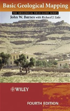
Basic Geological Mapping
- Edisi
- Ed. 4
- ISBN/ISSN
- 0-470-84986-X
- Deskripsi Fisik
- xi, 175 hlm. ; ills.; tabl.; app.; ref.; ind.; 23
- Judul Seri
- -
- No. Panggil
- 550.22 BAR b
- Edisi
- Ed. 4
- ISBN/ISSN
- 0-470-84986-X
- Deskripsi Fisik
- xi, 175 hlm. ; ills.; tabl.; app.; ref.; ind.; 23
- Judul Seri
- -
- No. Panggil
- 550.22 BAR b
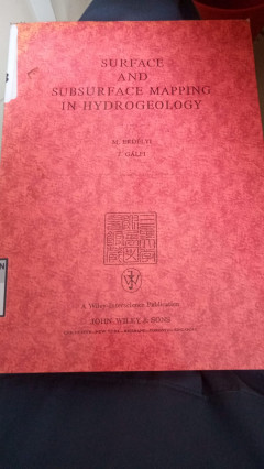
Surface And Subsurface Mapping In Hydrogeology
This book concentrates on the often neglected but useful aspects of hydrogeological mapping. It covers geophysical survey methods and the importance of water chemistry as a tool in tracing the route of subsurface water, and goes on to lay a basic foundation in subjects needed for practice in field: stratigraphy, structural geology, mineralogy, petrography, and geochemistry. Also covers basic di…
- Edisi
- -
- ISBN/ISSN
- 0-471-90923-8
- Deskripsi Fisik
- 383 hlm.; ills.; refr.; ind.; 24 Cm
- Judul Seri
- -
- No. Panggil
- 551.48 ERD s
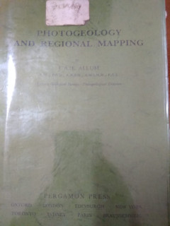
Photogeology And Regional Mapping
Buku ini membahas tentang: -stereoscopy some geometrical properties of aerial photographs -interpretation-structural -etc.
- Edisi
- Ed. 1
- ISBN/ISSN
- -
- Deskripsi Fisik
- xii, 107 hlm.; ills.; tabl.; refr.; ind.; 21 Cm
- Judul Seri
- -
- No. Panggil
- 550.81 ALL p

Vegetation Mapping Handbook of Vegetation Science Vol. 10
- Edisi
- -
- ISBN/ISSN
- ISBN (13): 978-94-01
- Deskripsi Fisik
- x, 635 hlm.; ills.; tabl.; bibl.; ind.; 24 Cm
- Judul Seri
- -
- No. Panggil
- 526.8 VEG
- Edisi
- -
- ISBN/ISSN
- ISBN (13): 978-94-01
- Deskripsi Fisik
- x, 635 hlm.; ills.; tabl.; bibl.; ind.; 24 Cm
- Judul Seri
- -
- No. Panggil
- 526.8 VEG
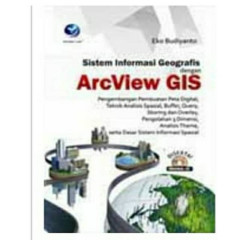
Sistem Informasi Geografis Dengan ArcView GIS
Arcview GIS adalah salah satu di antara sekian banyak perangkat lunak yang digunakan dalam Sistem Informasi Geografis. ArcView GIS memiliki kemampuan yang tinggi dalam pembuatan peta digital hingga analisis spasial. Buku ini membahas tentang pembuatan peta digital, teknik analisis spasial, buffer, query, skoring dan overlay, pengolahan 3 dimensi, analisis theme, serta dasar-dasar sistem inform…
- Edisi
- Ed. 1
- ISBN/ISSN
- 978-979-29-1468-9
- Deskripsi Fisik
- xxii, 222 hlm.; ills.; tabl.; bibl.; 23 Cm
- Judul Seri
- -
- No. Panggil
- 912.014 EKO s
 Karya Umum
  Filsafat
  Agama
Agama  Ilmu-ilmu Sosial
  Bahasa
  Ilmu-ilmu Murni
  Ilmu-ilmu Terapan
  Kesenian, Hiburan, dan Olahraga
  Kesusastraan
  Geografi dan Sejarah