Ditapis dengan
Ditemukan 1 dari pencarian Anda melalui kata kunci: author="Compton, Robert R."

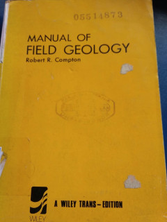
Manual Of Field Geology
Observing and collecting data and samples; Using the compass, clinometer, and hand level; The compass traverse; Plotting geologic features on a base map; Mapping geologic features on aerial phographs; The alidade and plane table; Control for geologic maps; Geologic mapping with the alidade and plane table; Making a geologic map from aerial photographs; Detailed mapping and sampling; Preparing g…
- Edisi
- -
- ISBN/ISSN
- 0 471 16698 7
- Deskripsi Fisik
- x, 378 hlm.; ills.; tabl.; refr.; app.; ind.; 21 C
- Judul Seri
- -
- No. Panggil
- 551 COM m
 Karya Umum
  Filsafat
  Agama
Agama  Ilmu-ilmu Sosial
  Bahasa
  Ilmu-ilmu Murni
  Ilmu-ilmu Terapan
  Kesenian, Hiburan, dan Olahraga
  Kesusastraan
  Geografi dan Sejarah